views
Patna: Scientists from the National Remote Sensing Agency (NRSA) are conducting a ground-penetrating radar (GPR) survey in Bihar's Nalanda district to trace the location of the buried ancient structures.
Officials of the Archaeological Survey of India (ASI), Patna circle, said Thursday a five-member team of scientists from the NRSA has begun a four-day GPR survey in Nalanda.
The GPR survey is being conducted for the first time in Bihar. GPR survey has proved beneficial across the world in exploration of archaeological structures.
The survey, whose main purpose is to locate ancient buried structures, would be conducted on two mounds—Garhpar and Rukministhan—located in the vicinity of Nalanda town, ASI sources said. The survey was launched Wednesday.
Tourism and Culture Minister Ambika Soni, during her visit to Nalanda in April 2006, had mooted use of satellite imagery for exploration in the area.
The state government had earlier asked the Indian Space Research Organisation (ISRO) to help explore the ruins in and around the ancient Nalanda University for further excavation.
For long, archaeologists were in a dilemma over carrying out the excavation due to lack of proper scientific details.
Hieun Tsang, the famous Chinese scholar who visited Nalanda in the seventh century A.D., in his account said that the university was spread over a 16 km area.
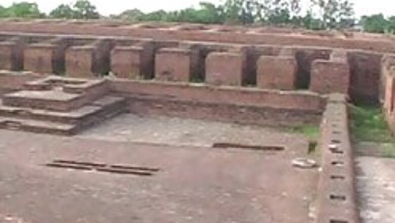
However, till now hardly 1.6 square km of the ruins of the 2,500-year-old university have been excavated.


Comments
0 comment