
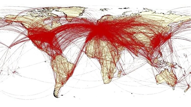
The Coronavirus death toll has spiked, as have the number of confirmed infections globally and in China. The Chinese government over the past 24 hours announced that it was recalibrating the way they calculated the deaths and confirmed infection counts in the country, which now means they have confirmed 15,152 new cases and 254 additional deaths. If Chinese government figures are to be believed, the country’s Coronavirus death toll now stands at 1,367 while the confirmed infections are now 59,804. With this as the backdrop, a map created by the University of Southampton should send shivers down your spine. The university’s WorldPop research team has tried to put together a map that shows the movements of as many as 60,000 residents who traveled out of Wuhan and went around the world, since the outbreak started but before the travel lockdown was put in place. There was a significant window between the time the Coronavirus outbreak was confirmed in Wuhan till the time the Chinese authorities locked down the city for travel, allowing millions in that period to travel within China and around the world.
Researchers say they used a combination of flight trackers and cell phone tracking data to map where travelers from Wuhan went. The idea was to understand typical travel and movement patterns of people within China and around the world. The annual 40-day Lunar New Year celebrations, including the seven-day public holiday that started January 24, saw millions travel around the world. “It’s vital that we understand patterns of population movement, both within China and globally, in order to assess how this new virus might spread – domestically and internationally. By mapping these trends and identifying high-risk areas, we can help inform public health interventions, such as screenings and healthcare preparedness,” says Andrew Tatem, Director of WorldPop and professor within Geography and Environmental Science at the University of Southampton.
Also Read | Coronavirus Has a Deadly Weapon That You Did Not Know About: The Super Spreaders
The WorldPop researchers at the University of Southampton worked with University of Toronto, St Michael’s Hospital Toronto, disease surveillance organisation Bluedot in Toronto and the China Centre for Disease Control and Prevention.
The researchers have identified Bangkok as a city which is at great risk from the Coronavirus, based on the air travel patterns. This is followed by Hong Kong, Taipei, Seoul, Tokyo, Singapore, Phuket, Osaka, Kuala Lumpur and Macau making up the top 10 cities at risk. Sydney at 12, New York at 16, Dubai at 17, London at 19 and Paris at 27 are some other cities that do otherwise see a lot of travel around the world.
Also Read | Coronavirus: This Website Has A Realtime Map Tracking The Deadly Virus in All Countries
Among the countries that received airline travellers from Mainland China around the time, Thailand worryingly leads the list with Japan, Hong Kong and Taiwan following. India is at position 23 in the risk chart, out of 30 countries.
At the time of writing this, there are as many as 59,822 confirmed cases of Coronavirus in China, followed by Singapore and Hong Kong (50 each), 33 in Thailand, 28 in South Korea, 28 in Japan, 18 in Malaysia and Taiwan each, 16 in Germany and Vietnam, 15 in Australia, 14 in the US, 11 in France, 10 in Macau and 9 in the UK. This data does align with what the researchers seem to have suggested with the air travel mapping. Expect these numbers to change at regular intervals.


Comments
0 comment