
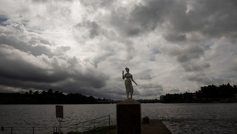
Heavy rains lashed several parts of southern India including Kerala on Wednesday while dry and sultry weather prevailed in the north, even as the IMD forecast widespread rainfall over Peninsular regions in the next four to five days.
Three fishermen drowned when their boat capsized in the rough seas in Thiruvananthapuram as heavy rains lashed parts of Kerala.
In Delhi, dry weather pushed the mercury up slightly as the maximum temperature settled at 35.6 degrees Celsius, two notches above normal.
According to the Met department forecast, the city’s maximum temperature is expected to rise by a few notches as rainfall is unlikely over the next few days.
Delhi has recorded just 20.9 mm rainfall against the normal of 58.3 mm — a deficiency of 64 per cent — in September so far. Overall, it has recorded 576.5 mm precipitation against the normal of 582.1 mm since June 1, when the monsoon season starts.
In the neighbouring states of Punjab and Haryana, hot and humid weather conditions prevailed at most places, with maximum temperatures settling two-three notches above the normal limits.
Chandigarh, the common capital of the two states, recorded a high of 35.2 degrees Celsius.
In Haryana, Ambala recorded a maximum of 35.4 degrees Celsius while Hisar’s maximum settled at 36.6 degrees Celsius. Bhiwani experienced a hot day with a maximum temperature of 37.2 degrees Celsius.
In Punjab, Patiala recorded a high of 35 degrees Celsius, Ludhiana’s maximum temperature settled at 34.6 degrees Celsius while Amritsar’s maximum settled at 35.4 degrees Celsius.
According to the Met department forecast, monsoon activity is likely to be subdued over Punjab, Haryana and Chandigarh during the next four to five days and dry weather is likely to prevail during this period.
In Uttar Pradesh, thunderstorm accompanied with lightning occurred at isolated places in the eastern part of the state.
The met department has forecast rain/thundershower at isolated places and light thunderstorm accompanied with lightning at some places over eastern parts of the state. As heavy rains lashed Kerala, three fishermen, who had put out to sea from the coastal town of Anchuthengu, drowned when their boat overturned due to the rough sea and strong waves.
The capital city of Thiruvananthapuram received 10 cm rains with low lying areas getting water logged and five families being shifted to relief camps.
Fishermen have been warned against venturing into the sea as strong winds with speed ranging from 45-55 kmph are likely to prevail along and off Kerala coast from Wednesday, officials said.
Rain/thundershowers were observed at most places over Mahe and Lakshadweep; at many places over Andaman and Nicobar Islands, Jharkhand, Rayalaseema and Tamil Nadu, Puducherry and Karaikal on Wednesday.
A few places in Odisha, Madhya Pradesh, Maharashtra, south Karnataka too witnessed rains while isolated places in Arunachal Pradesh, Assam, Meghalaya, Nagaland, Manipur, Mizoram, Tripura, Konkan and Goa, Uttar Pradesh, West Rajasthan, Gujarat, West Bengal, Sikkim, Chhattisgarh, coastal Andhra Pradesh and Telangana received showers.
In its monsoon forecast, the IMD said that under the influence of an off-shore trough from south Maharashtra coast to north Kerala coast, fairly widespread to widespread rainfall with isolated heavy falls, thunderstorm and lightning are very likely over Peninsular India during the next four to five days.
While heavy to very heavy rainfall at isolated places is very likely over coastal Karnataka from September 10 to 13, south Karnataka (September 9-12), Kerala and Mahe (September 9-11). Extremely heavy rainfall at isolated places is also very likely over coastal and south Karnataka on September 11.
The western part of the monsoon trough lies north of its normal position and the eastern end lies near to its normal position.
A cyclonic circulation lies over Gangetic West Bengal and neighbourhood in lower tropospheric levels. Under their influence, fairly widespread rainfall with isolated thunderstorm and lightning are very likely over northeast and adjoining east India. Heavy rainfall at isolated places is also very likely over sub-Himalayan West Bengal and Sikkim during next 5 days and over Northeast India during the next four to five days.


Comments
0 comment