views
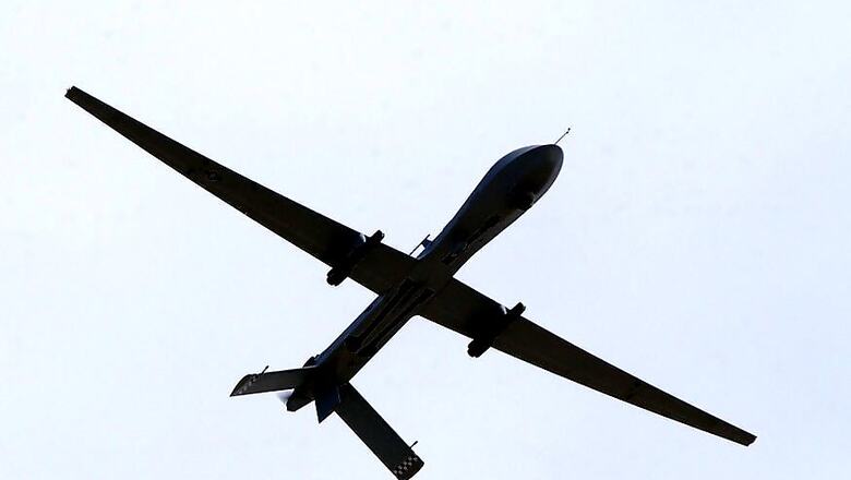
Aerial imagery gathered from helicopters and drones can be used to measure changes in the water flow of rivers, suggests new research. The study, published in the journal Water Resources Research, found that aerial imaging can be just as accurate as older, more expensive field methods in some cases.
“Remote sensing methods like these can significantly improve our ability to understand hydrologic responses to a changing climate in small, ungauged watersheds around the world," said study co-author Bethany Neilson, Associate Professor at Utah State University in the US.
With an ever-growing human population and its inherent demand for water, there is a critical need to monitor water resources.
“We are headed into uncharted territory as climate change alters water supply and population growth increases demand," said co-author of the study Tyler King from Utah State University. “In the face of these challenges, scientists, engineers and managers around the world are asked to perform the increasingly difficult task of managing water resources with less and less information," King said.
Also read: Reliance JioPhone Now on Sale Through MobiKwik
There are limited locations where river discharge is measured directly at gauging stations.
Establishing and maintaining these stations is expensive and time-consuming. As a result, preference is often given to large rivers of significant economic and social importance. Additionally, other remote sensing methods have been developed, but rely on relatively coarse data collected by satellites and, as such, also focus on the larger rivers of the world.
As a result, scientists often lack a complete view of what is happening in smaller river basins, leaving a limited understanding of the processes controlling river water quantity and quality.
The new approach, which uses a unique combination of image processing techniques and hydraulic modelling, aims to fill this data gap by using high-resolution aerial imagery to estimate flows at many locations along smaller rivers and streams.
Watch: Sonam Wangchuk, Engineer And Education Reformist | Interview


Comments
0 comment